Now Also operating from our new yard in Alice Springs. Our address is 3/31 Elder Street Ciccone 0870.


Can Directional Drilling Be Used Under Creeks and Waterways?
September 21, 2026
Crossing a creek or waterway with new underground services can be more complex than a standard civil construction project. Unstable ground, changing water conditions, environmental constraints and regulatory requirements all need to be considered before work begins.
Directional drilling can provide a practical way to install pipes and conduits beneath a waterway while limiting disturbance to the creek bed and surrounding environment. Its suitability depends on ground conditions, bore depth, crossing length, access and the level of environmental protection required.
JSM Civil works on civil infrastructure projects where controlled underground construction methods are needed for challenging sites. Careful planning can help determine whether directional drilling is suitable, how the bore and drilling fluids should be managed, what approvals may apply and how the method compares with alternatives like open-cut excavation.
Directional drilling allows pipes and conduits to be installed beneath creeks and waterways without excavating through the creek bed or banks. Instead, a controlled bore is drilled below the waterway, with the main construction activities carried out from entry and exit points on either side.
The process relies on careful bore planning, accurate steering and controlled drilling fluids to maintain bore stability. The work involves three key stages, from planning the bore path through to installing the pipe.
Before drilling begins, the bore is designed to pass beneath the creek at a depth that provides sufficient cover and avoids known underground constraints. Ground conditions, groundwater, existing services, creek geometry and potential scour are considered when establishing the alignment.
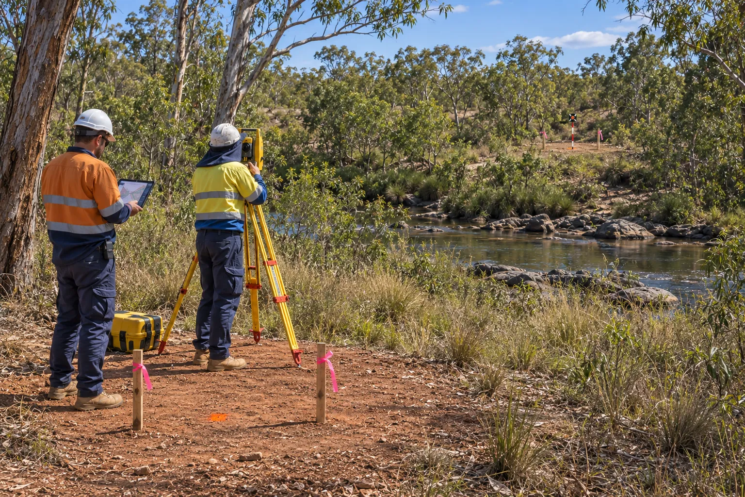
Before You Dig Australia plans provide a starting point for identifying existing underground infrastructure, although critical services should still be verified onsite.
Geotechnical investigations can identify soil and rock conditions that may affect drilling performance, while the final bore profile sets the required entry angle, depth and exit point. These factors are incorporated into the drilling plan before work starts.
The pilot bore is the first stage of physical drilling. A steerable drill head follows the planned alignment beneath the creek while its depth and direction are tracked throughout the process.
Small steering adjustments allow the operator to maintain the required line and grade. Drilling fluid helps stabilise the bore and carry cuttings away from the drill head, while drilling conditions are monitored for changes that could affect the bore.
Once the pilot bore reaches the receiving side, the hole is enlarged to accommodate the product pipe. One or more reaming passes may be required depending on the pipe diameter and ground conditions.
The pipe is then attached to the drilling assembly and pulled back through the completed bore. Pullback forces are monitored to keep the pipe within acceptable stress limits. Once installation is complete, the service is connected and the entry and exit areas are reinstated, leaving the creek bed largely undisturbed.
Directional drilling can be suitable for many creek and waterway crossings, but the method is not appropriate for every site. Feasibility depends on the ground conditions, crossing geometry, available workspace, environmental constraints and capabilities of the selected drilling equipment.
Early assessment helps determine whether the bore can be drilled safely while maintaining the required depth and alignment. It can also identify conditions that may require changes to the bore design or an alternative construction method.
The subsurface needs to provide suitable conditions for maintaining a stable bore. Geotechnical investigation can identify materials that may affect drilling performance, steering and bore stability.
Important considerations are the following:
Highly variable ground, unstable materials or difficult groundwater conditions can increase the complexity of the crossing. Additional investigation, modified bore geometry or specialised equipment may be required in some cases.
The surrounding environment also influences whether directional drilling is suitable. The method can avoid excavation through the creek bed and banks, making it useful where direct in-stream disturbance needs to be limited.
The project may need to account for:
The Australian Government’s Protected Matters Search Tool can help identify nationally protected species, wetlands and heritage places near the proposed crossing.
Where these conditions can be managed through appropriate bore design, environmental controls and project-specific approvals, directional drilling may provide a practical alternative to open-cut excavation. If the required alignment, access or environmental controls cannot be achieved, another crossing method may need to be considered.
Ground conditions play a major role in the design of a directional drilling crossing. The bore needs to be planned around the soil, rock and groundwater conditions along the proposed alignment rather than relying on surface conditions alone.
Early investigation helps identify potential issues with bore stability and drilling performance. The findings can then be used to establish a practical bore profile, select suitable equipment and reduce the risk of delays or failed drilling.
Geotechnical information should be gathered before the final bore alignment is established. Existing geological and utility records can be combined with targeted field investigations such as boreholes, test pits or cone penetration testing where appropriate.
The investigation should consider:
These findings help determine whether the proposed bore can remain stable and whether the drilling method and tooling are appropriate for the site. Loose sands and gravels may increase the risk of fluid loss or bore collapse, while strong rock may require specialised tooling.
The process of choosing a directional drilling method for NT ground conditions should account for changes between clay, sand, gravel, alluvial deposits and rock along the full bore path.
The bore profile should provide sufficient cover beneath the waterway while remaining within the steering capabilities of the drilling equipment and allowable bend radius of the product pipe. Entry and exit points also need enough distance to achieve the required depth without creating excessive curvature.
Ground conditions can also influence drilling fluid properties, allowable pressures and contingency measures. These factors should be established as part of the drilling plan so the construction approach reflects the conditions identified during investigation.
A well-planned bore combines geotechnical information with the required depth, pipe specifications, waterway conditions and construction constraints. This provides a practical basis for completing the crossing while managing construction and environmental risks.
There is no set depth for directional drilling beneath every creek or waterway. The bore needs sufficient cover to remain stable, avoid exposure from scour or erosion and maintain separation from the creek bed and other underground constraints. The required depth depends on factors like ground conditions, waterway behaviour, groundwater, pipe size and the planned bore alignment.
Understanding how deep horizontal directional drilling can go requires consideration of bore length, ground conditions, pipe specifications, rig capacity and the clearance needed beneath the waterway.
The bore is designed to pass beneath the creek bed and may be taken deeper through weak or unstable ground before rising towards the exit point. Areas prone to flooding, bed movement or scour may require additional cover to protect the installed service from future changes to the waterway.
Going deeper is not always better, as a deeper bore can increase the drilling distance and make steering, fluid management and construction more complex. Geotechnical and hydraulic assessments can help establish a suitable depth that provides adequate protection while remaining practical for the selected equipment and site conditions.
Entry and exit points are positioned to give the drill enough distance to reach the required depth beneath the creek while maintaining a suitable bore profile. They are set back from the waterway where ground conditions, access and environmental constraints allow. Creek width, bank stability, terrain, existing services, groundwater, property boundaries and available workspace all influence their final locations.
The entry and exit areas also need enough room for the drilling rig, support equipment, drilling fluids, pipe handling and pullback operations. Their positions must work with the allowable bend radius of the pipe and the steering capabilities of the equipment while avoiding unnecessary disturbance to creek banks and surrounding vegetation.
Once the bore design and work areas are prepared, directional drilling follows a controlled sequence to install the service beneath the creek. The process involves preparing the site, drilling the pilot bore, enlarging the bore and pulling the pipe into position.
The drilling rig first advances a pilot bore along the planned alignment beneath the waterway. The drill head is tracked to maintain the required depth and direction, while drilling fluid helps stabilise the bore and remove cuttings.
Once the pilot bore reaches the receiving side, it is enlarged through one or more reaming passes until it is suitable for the product pipe. Drilling conditions are monitored throughout the process so changes in ground conditions or fluid behaviour can be identified and addressed.
Once the bore reaches the required diameter, the product pipe is attached to the drilling assembly and pulled through the completed bore. Pullback forces and pipe alignment are monitored to minimise stress during installation.
After the pipe is connected to the surrounding network, drilling fluids and spoil are managed appropriately and the entry and exit areas are cleaned and reinstated. With the main construction work carried out underground, the creek bed and waterway can remain largely undisturbed.
Directional drilling beneath a creek requires continuous tracking to keep the bore on its planned alignment and maintain the required depth. Monitoring provides information about the drill head position and drilling conditions, allowing adjustments to be made if the bore begins to deviate from the design.
A transmitter or steering tool near the drill head provides information about its depth, position and direction. Depending on the equipment and site conditions, this information can be detected from the surface or transmitted through a downhole system.
The operator uses these measurements to make steering adjustments and keep the bore aligned with the planned design.
Drilling pressure, fluid flow and returns are monitored alongside the drill head position. Unexpected pressure changes or fluid losses can indicate changing ground conditions, restricted circulation or potential fluid escape.
This monitoring is important beneath waterways, where an inadvertent fluid return or frac-out needs to be identified quickly.
The drilled path is compared with the planned alignment to confirm that the required cover is maintained and known underground constraints are avoided. If the bore begins to deviate beyond the permitted tolerance, steering or drilling parameters can be adjusted where appropriate.
Continuous tracking helps maintain control over the crossing and reduces the risk of alignment problems, ground instability and environmental impacts.
Directional drilling can reduce disturbance to creek beds and surrounding areas compared with open-cut excavation, but waterway crossings still require careful environmental management. Drilling fluids, ground stability, water quality, vegetation and aquatic habitats all need to be considered before work begins.
Environmental requirements vary between projects and jurisdictions. Site conditions, the type of waterway, nearby habitats and the proposed drilling method can influence the controls and approvals required.
One of the main risks is an inadvertent fluid return, or frac-out, where drilling fluid escapes from the bore and reaches the creek bed, bank or surrounding ground. This can increase turbidity and affect aquatic habitats, particularly if the release is not identified and contained quickly.
Other risks include erosion or instability of creek banks, sediment entering the waterway and impacts on sensitive vegetation or fauna. Drilling activities may also need to be timed around ecological constraints.
Bentonite-based drilling fluids are commonly used to stabilise the bore, lubricate the drill head and carry cuttings to the surface. Fluid properties and drilling pressures need to be managed according to the ground conditions to reduce the risk of fluid loss or frac-out.
Key controls may include:
If an inadvertent fluid return occurs, drilling may need to be stopped while the affected area is contained and the fluid is recovered where practical. The relevant response and notification requirements should be established before construction begins.
Waterway crossings may require approvals or permits from relevant environmental, waterway, catchment or local authorities. Requirements depend on the location, waterway classification, environmental values and scope of the work.
Approval conditions may address:
Identifying these requirements during the planning stage helps ensure the drilling method, bore design and environmental controls are aligned before construction starts. Specific approval and notification requirements should be confirmed for the project location and waterway.
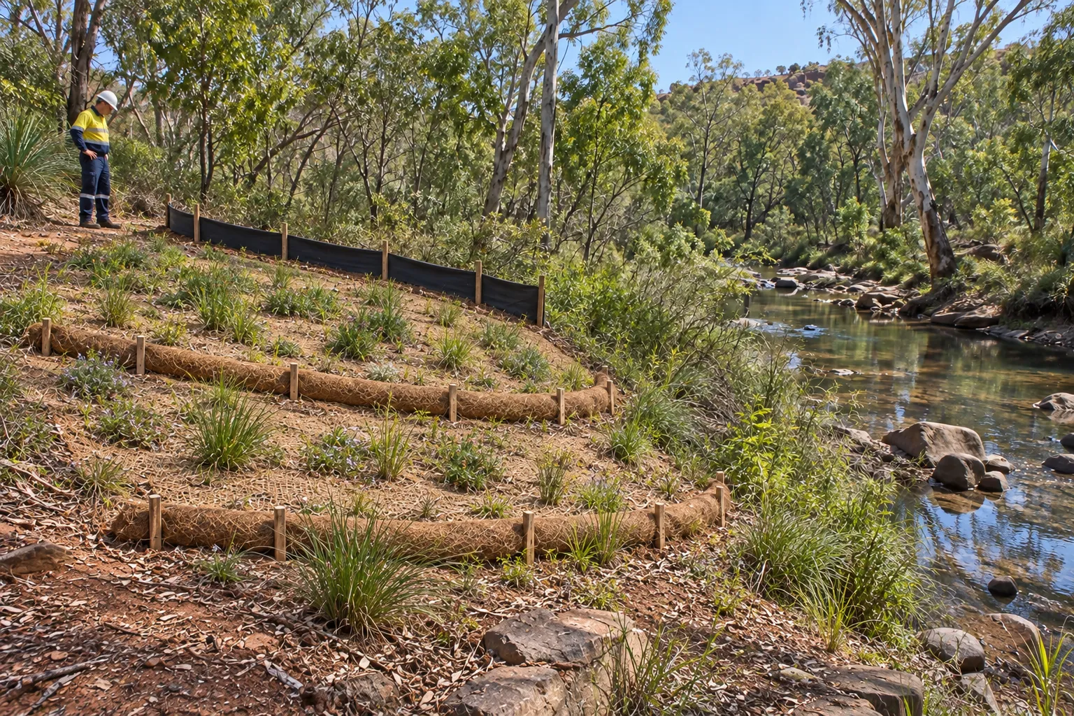
Directional drilling can provide a practical way to install pipes, conduits and other underground services beneath creeks without excavating through the waterway. Most of the drilling work is carried out from entry and exit areas on either side, allowing the crossing to be completed without a continuous trench through the creek.
The benefits depend on suitable ground conditions, access, bore design and environmental requirements. Where these factors can be managed effectively, directional drilling can reduce surface disruption and provide greater control over the crossing compared with open-cut excavation.
Because the service is installed through an underground bore, directional drilling can avoid excavation through the creek bed and reduce the need for temporary waterway diversion. This can limit disruption to the existing channel and reduce the amount of surface excavation required.
The surface footprint can also be smaller than an open-cut crossing. Roads, vegetation and other surface features may remain in place above the bore, although suitable work areas are still required around the entry and exit points.
Directional drilling allows the bore to be designed around the creek's width, depth, ground conditions and existing underground constraints. The service can pass beneath roads, vegetation, steep banks or other obstacles without requiring a continuous trench across the surface.
The bore can also be installed at a depth that provides suitable separation from the creek bed and reduces the risk of future exposure from erosion or scour. Accurate steering helps maintain the planned alignment and depth throughout the crossing.
For suitable sites, directional drilling can reduce the amount of excavation, temporary waterway works and surface reinstatement required. Construction activities can be concentrated around the entry and exit areas while the service is installed underground.
The actual time and cost depend on factors such as crossing length, ground conditions, pipe diameter, access, equipment and environmental requirements. Directional drilling is not automatically faster or less expensive than every alternative, but avoiding extensive in-stream excavation can provide practical construction advantages where the site is suitable.
Directional drilling can be a practical option for installing services beneath creeks and waterways where ground conditions, bore design and environmental requirements are suitable. Careful investigation, accurate steering, appropriate drilling fluids and ongoing monitoring help maintain the required bore alignment while reducing the risk of ground instability and inadvertent fluid returns.
The method can also limit disturbance to creek beds, banks and surrounding environments compared with open-cut excavation. JSM Civil can assess site conditions, crossing requirements and construction constraints to help determine whether directional drilling is suitable for a particular waterway project and plan the work accordingly.


